Geostationary Operational Environmental Satellite (GOES)
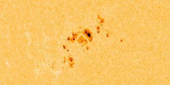
The Geostationary Operational Environmental Satellite system (GOES) are a series of geosynchronous satellites operated by the United States’ National Oceanic and Atmospheric Administration. The GOES system provides us with solar imagery, magnetometer data, solar X-ray data and data on high energy solar protons at Earth. Below you will find solar imagery at a multitude of wavelengths from a number of different GOES missions.
GOES-16
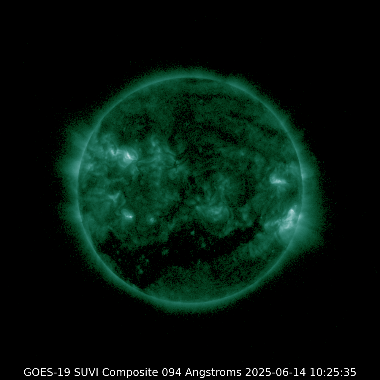
SUVI 094
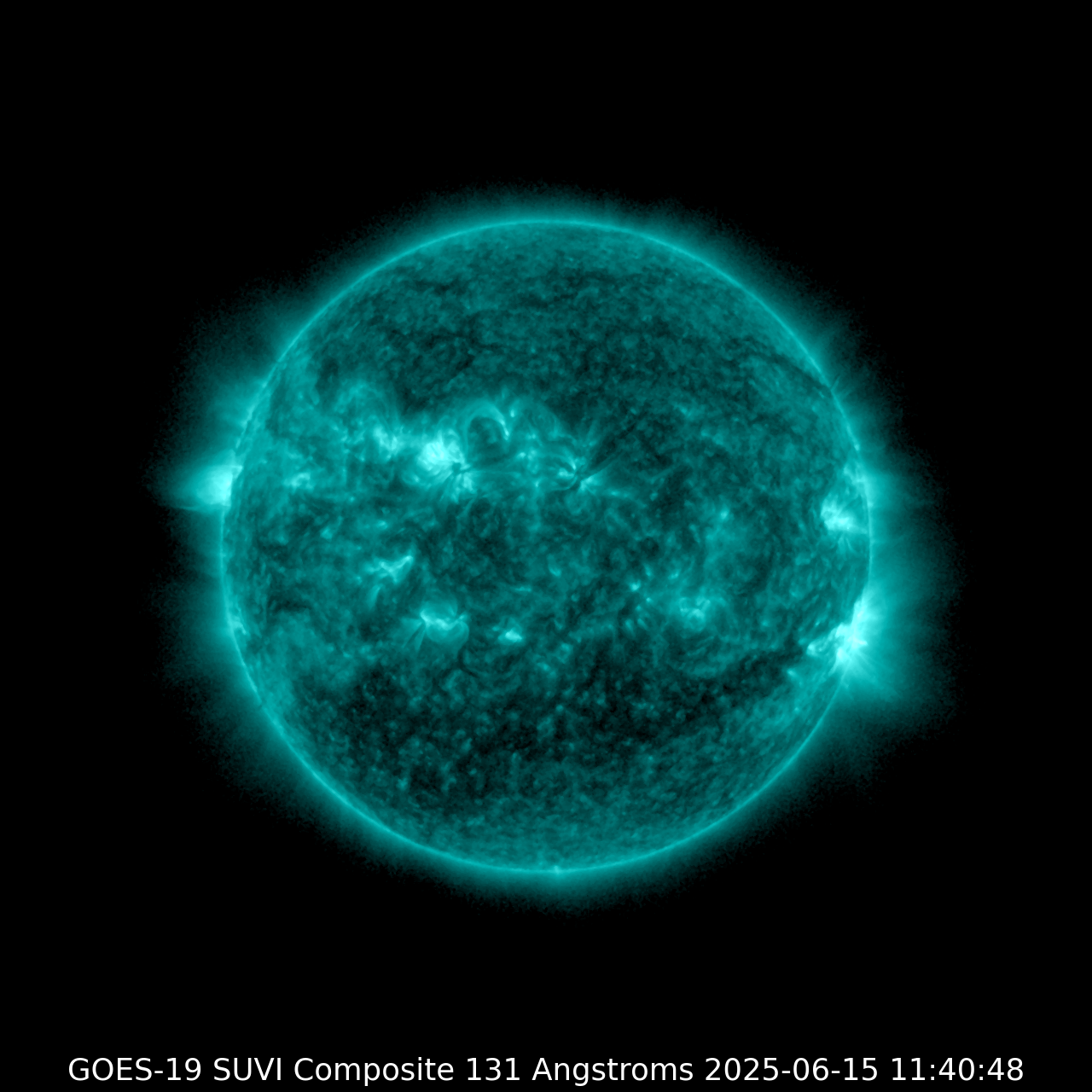
| SUVI 131
|
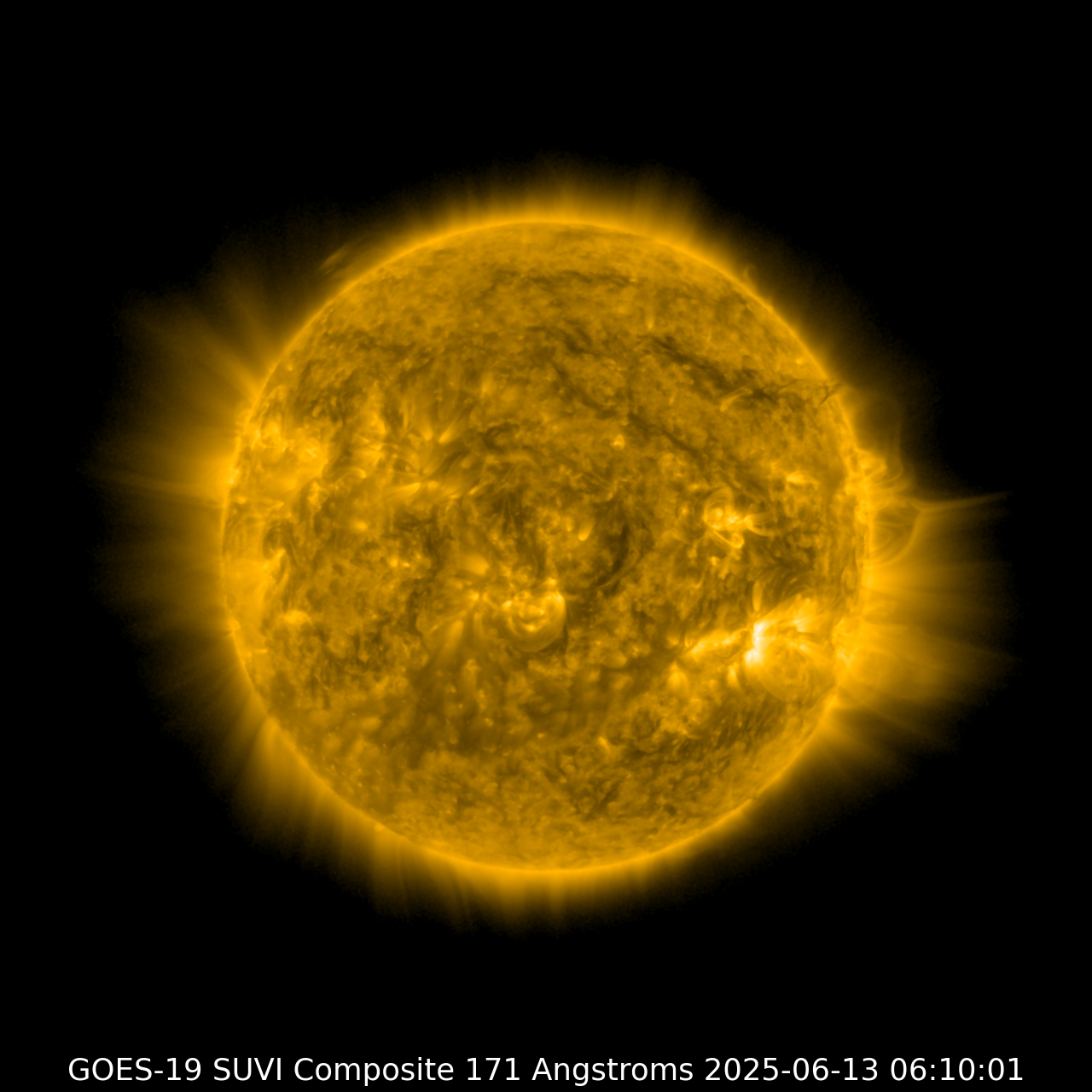
SUVI 171
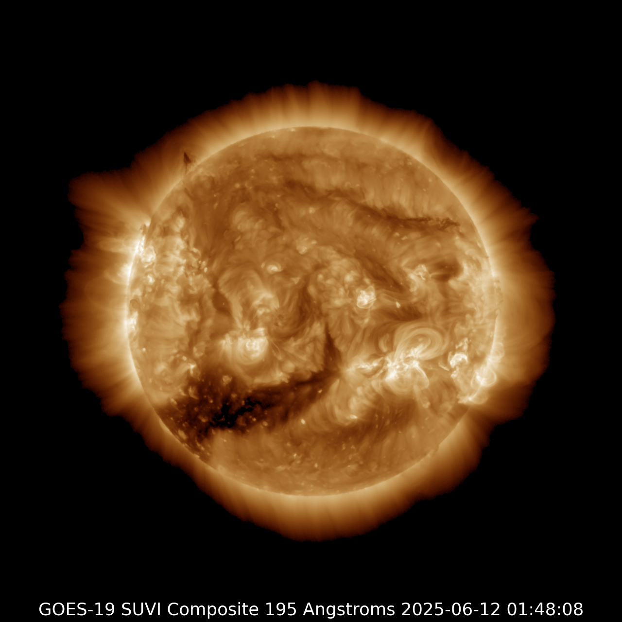
| SUVI 195
|
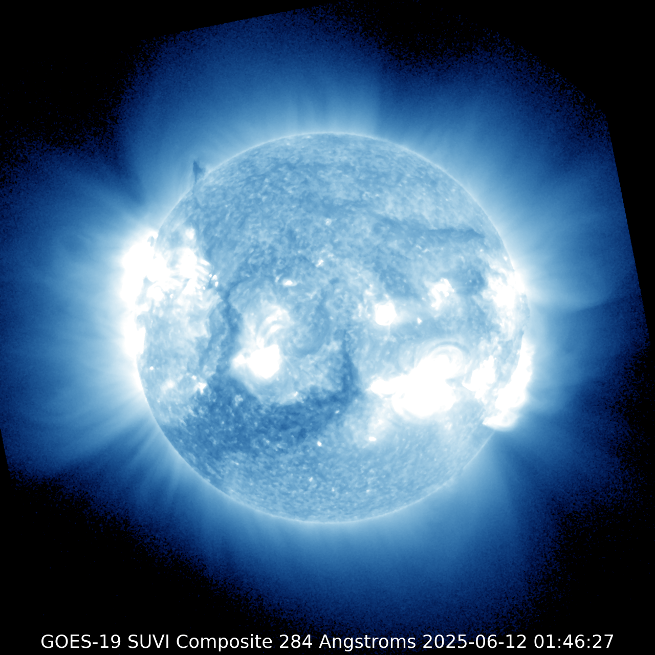
SUVI 284
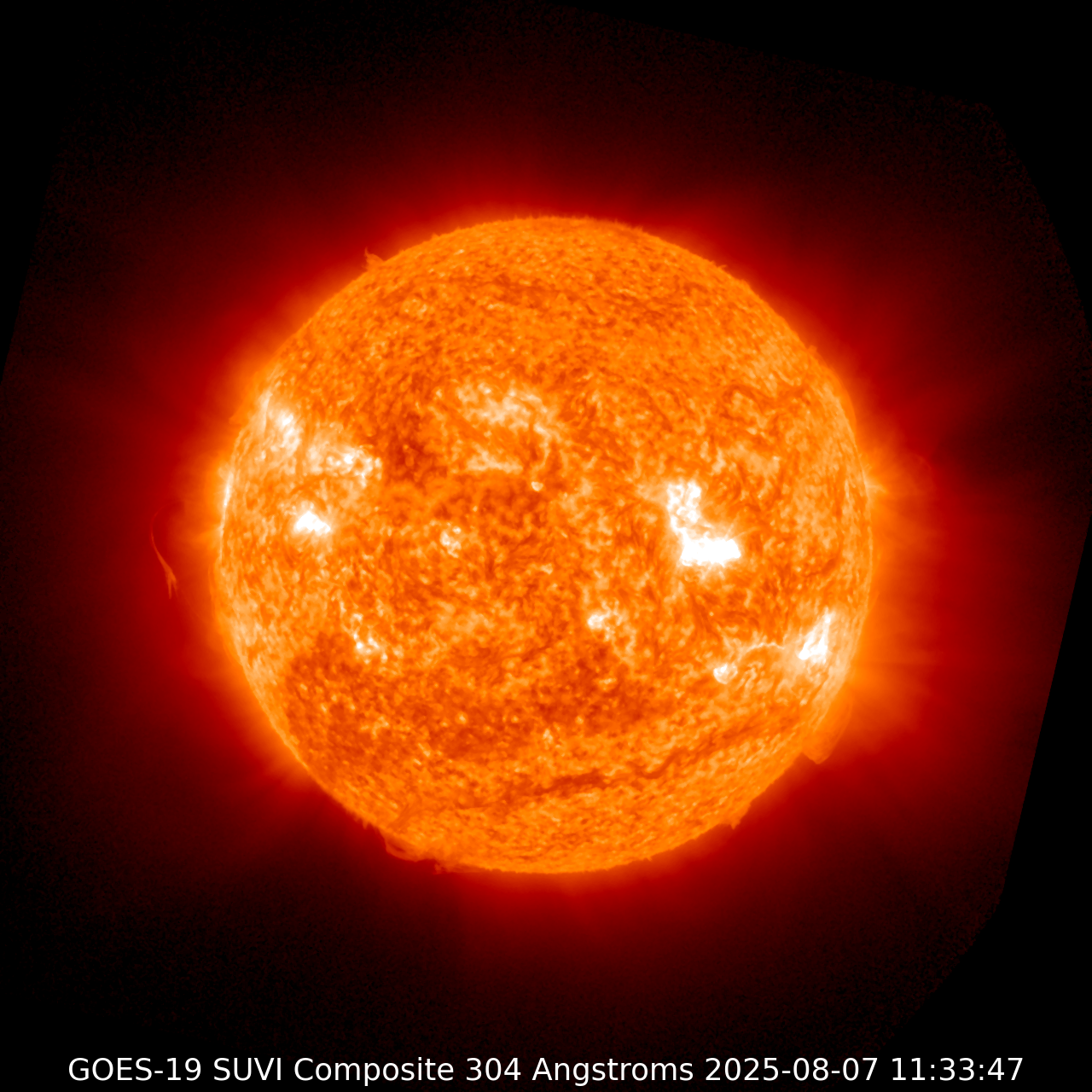
| SUVI 304
|
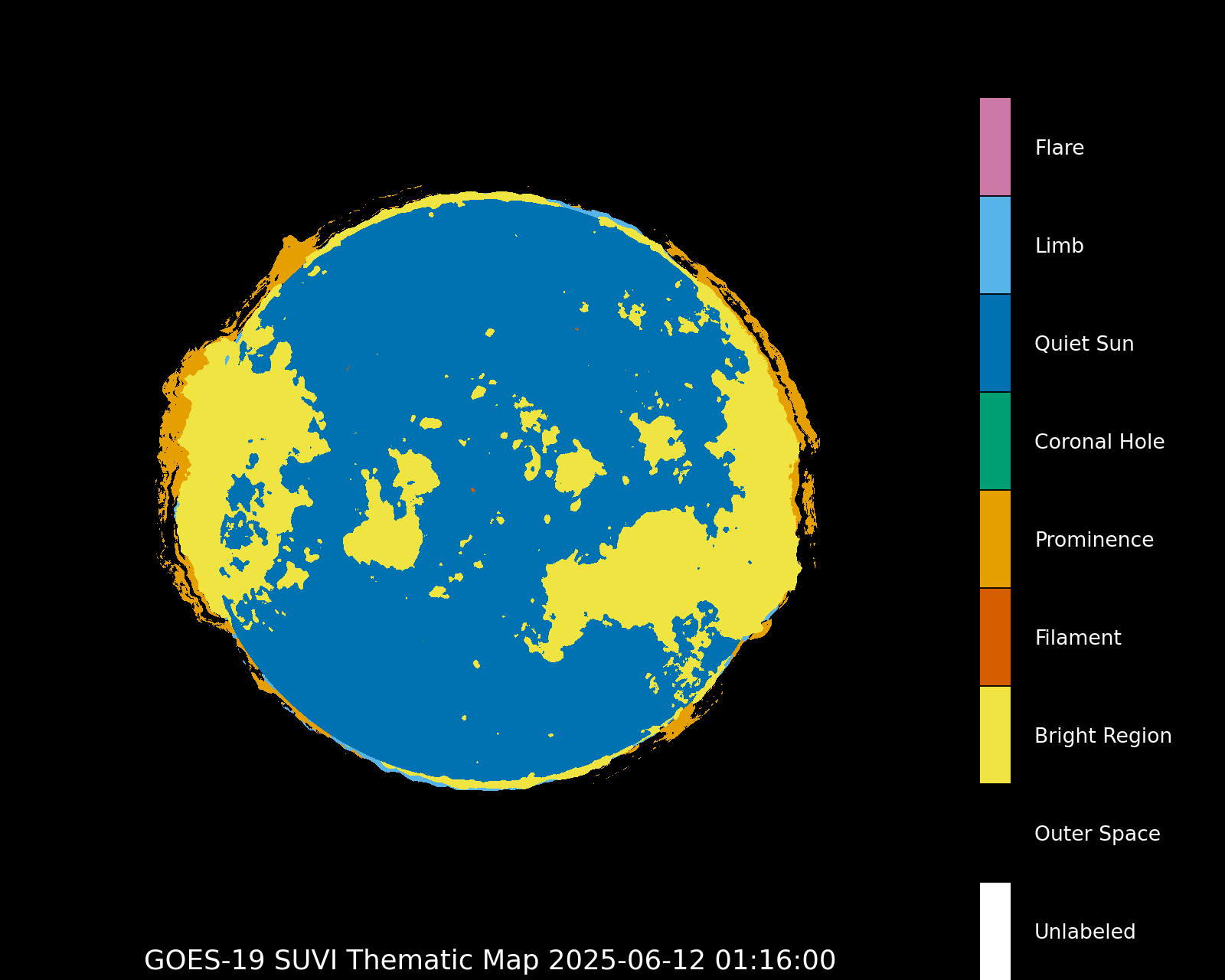
Thematic map
|
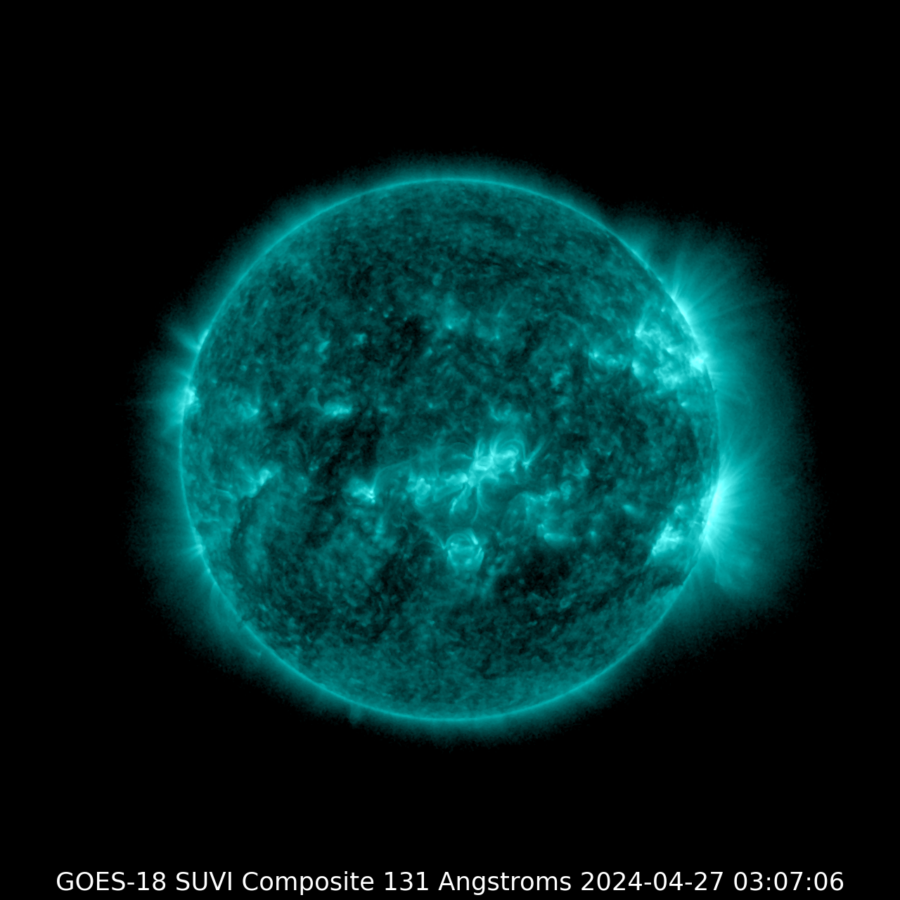
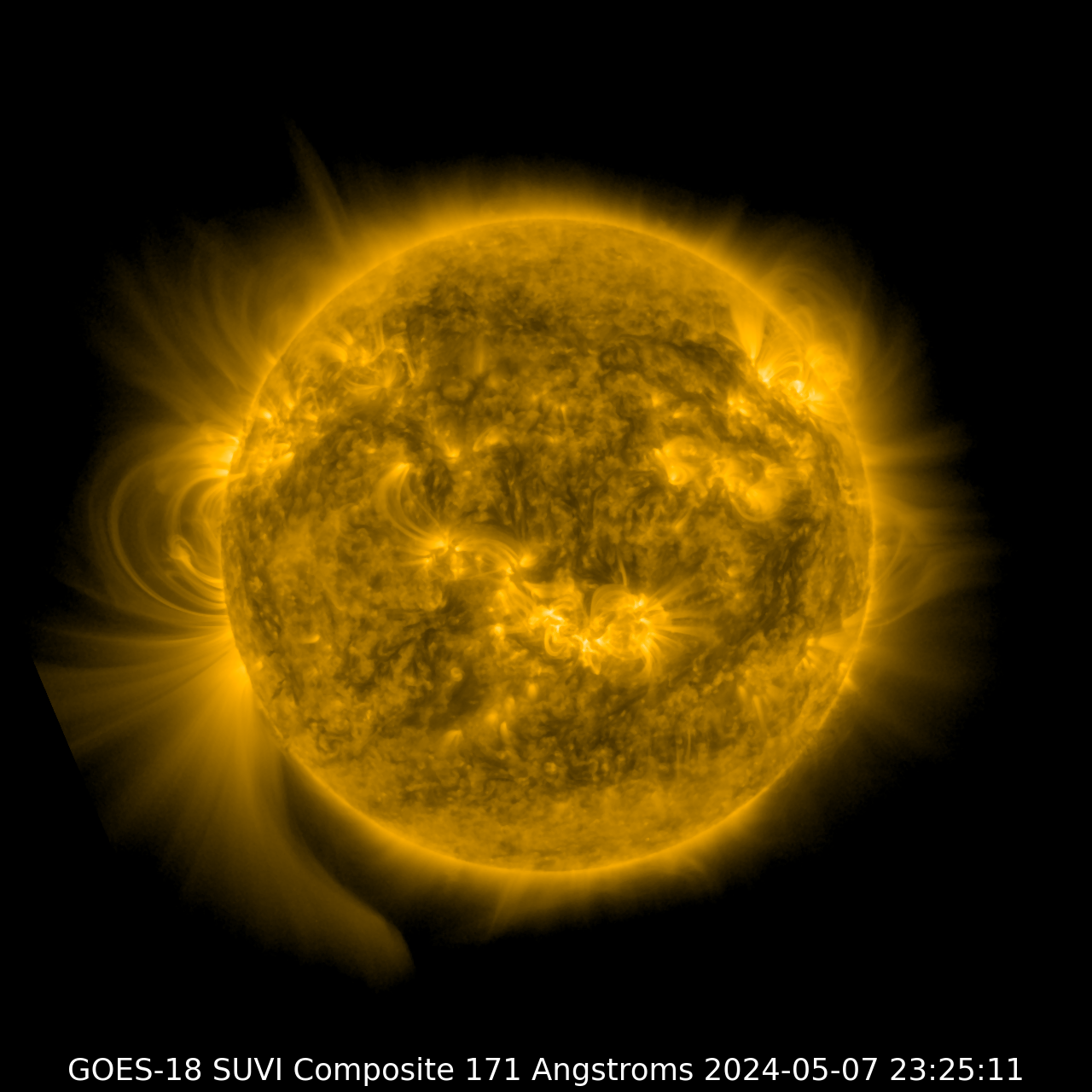
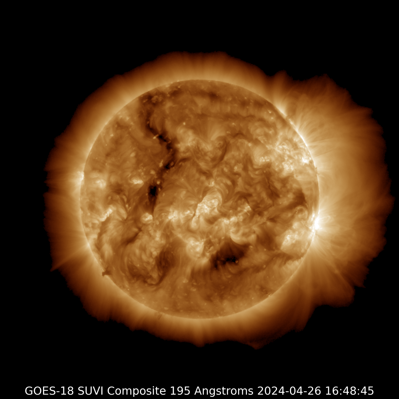
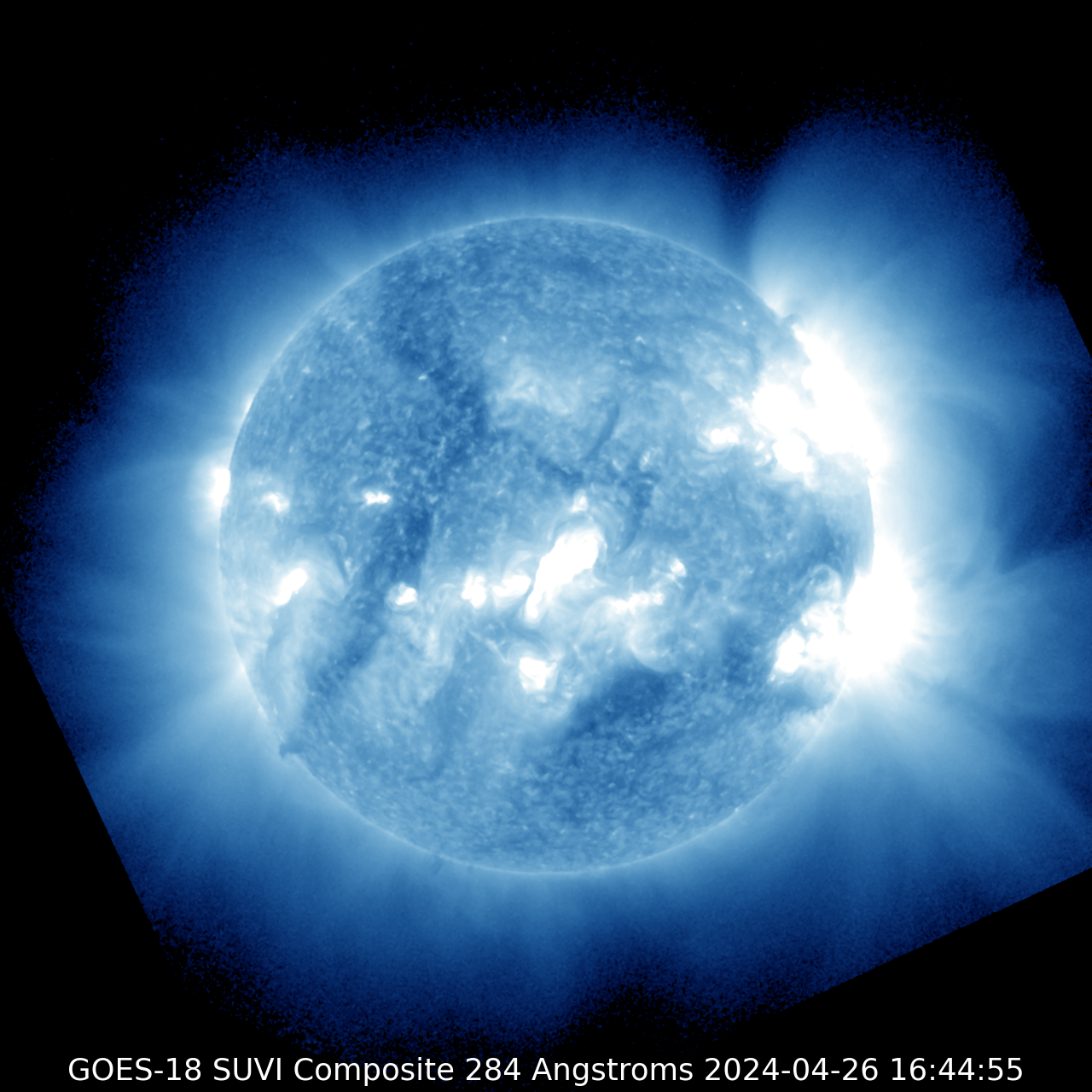
GOES-18
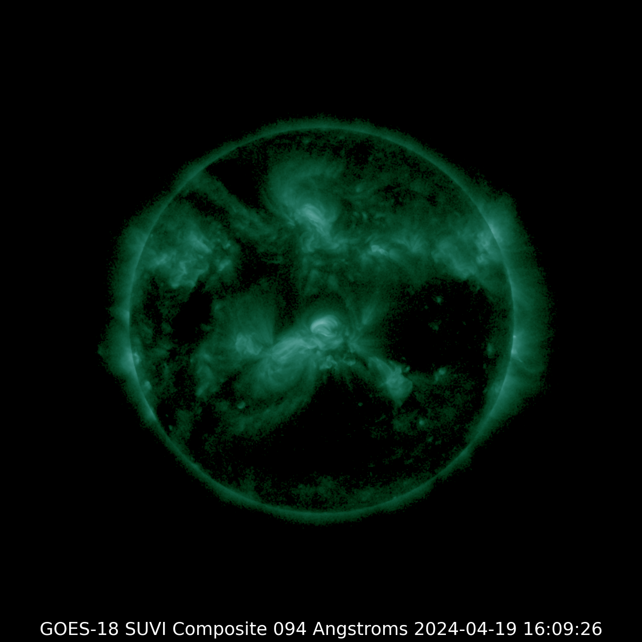
SUVI 094
| SUVI 131
|
SUVI 171
| SUVI 195
|
SUVI 284
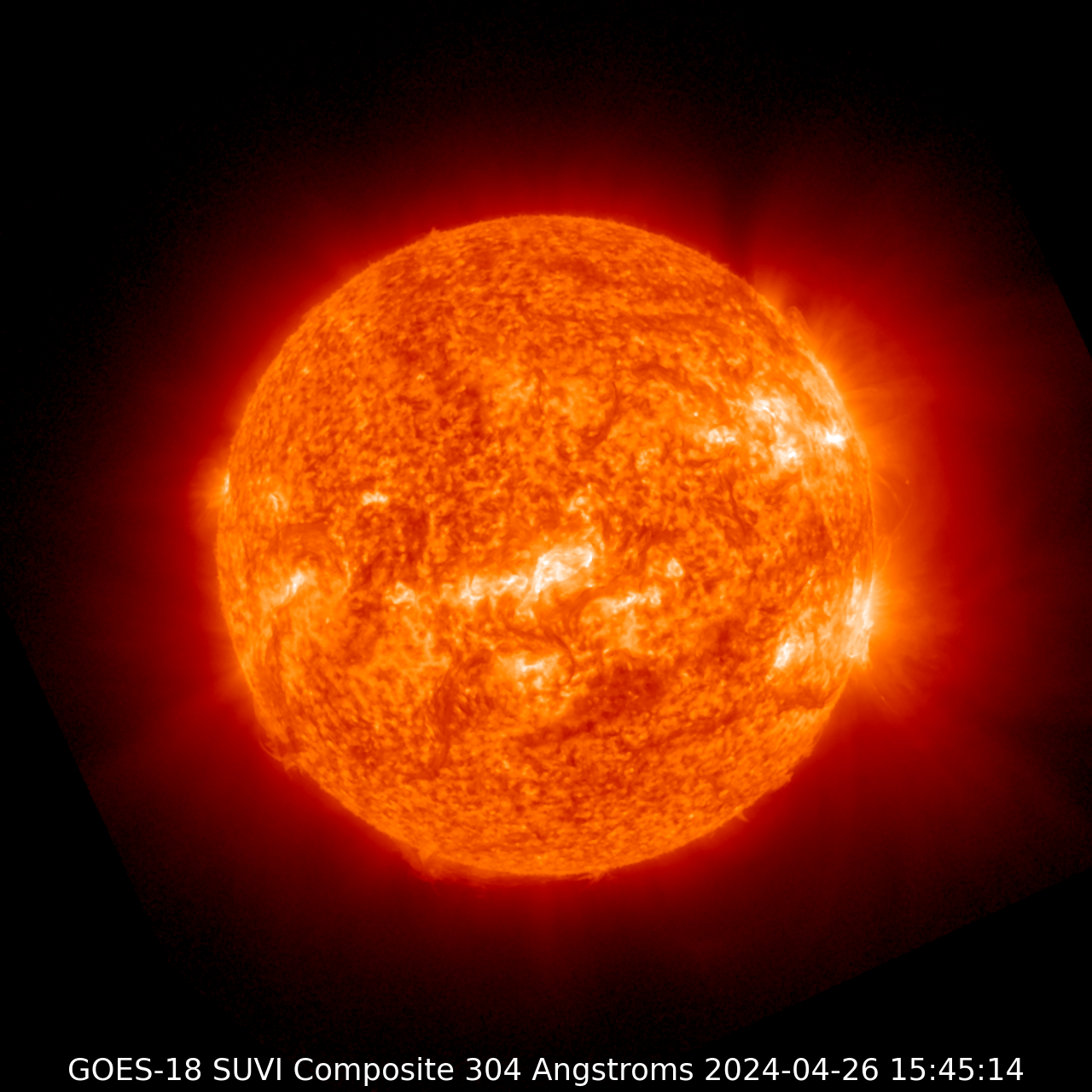
| SUVI 304
|
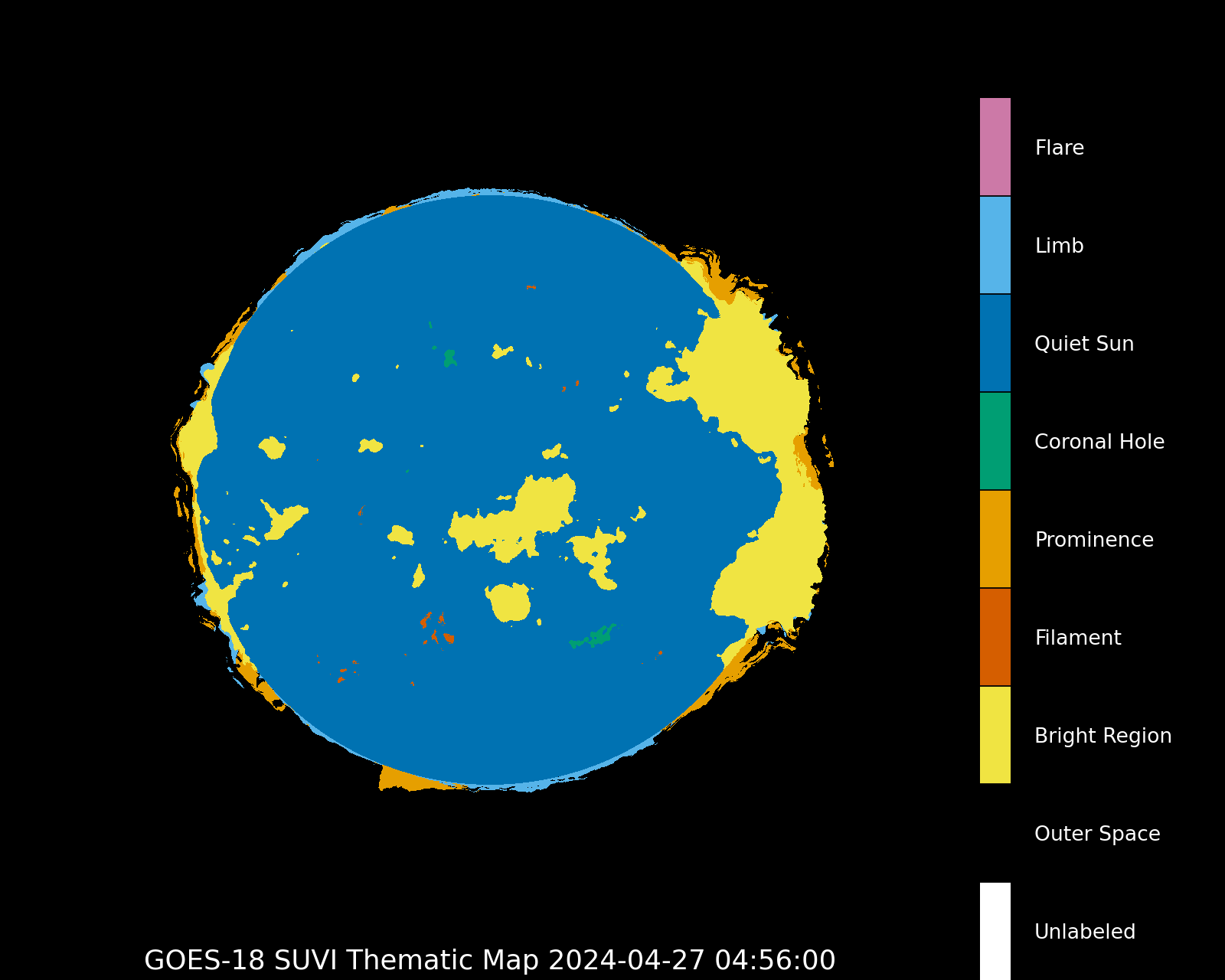
Thematic map
|
Courtesy of the GOES system (NOAA)
Latest news
Monday, 22 April 2024
Lot's of sunspots! Big chance for major flare activity?
Saturday, 23 March 2024
X1.1 solar flare with earth-directed CME
Wednesday, 20 March 2024
Sunspot region 3615, G1 watch
Latest forum messages
What are these long and thin eruptions? 9Unspecified geomagnetic activity 947IMF - BT strength 8AR3654 1AR 3637, 3638, 3643 89
More topicsSupport SpaceWeatherLive.com!
A lot of people come to SpaceWeatherLive to follow the Sun's activity or if there is aurora to be seen, but with more traffic comes higher server costs. Consider a donation if you enjoy SpaceWeatherLive so we can keep the website online!
Space weather facts
| Last X-flare | 2024/03/28 | X1.1 |
| Last M-flare | 2024/04/25 | M1.3 |
| Last geomagnetic storm | 2024/04/26 | Kp5+ (G1) |
| Spotless days | |
|---|---|
| Last spotless day | 2022/06/08 |
| Monthly mean Sunspot Number | |
|---|---|
| March 2024 | 104.9 -19.8 |
| Last 30 days | 136.8 +28.6 |