Geostationary Operational Environmental Satellite (GOES)
The Geostationary Operational Environmental Satellite system (GOES) are a series of geosynchronous satellites operated by the United States’ National Oceanic and Atmospheric Administration. The GOES system provides us with solar imagery, magnetometer data, solar X-ray data and data on high energy solar protons at Earth. Below you will find solar imagery at a multitude of wavelengths from a number of different GOES missions.
GOES-16
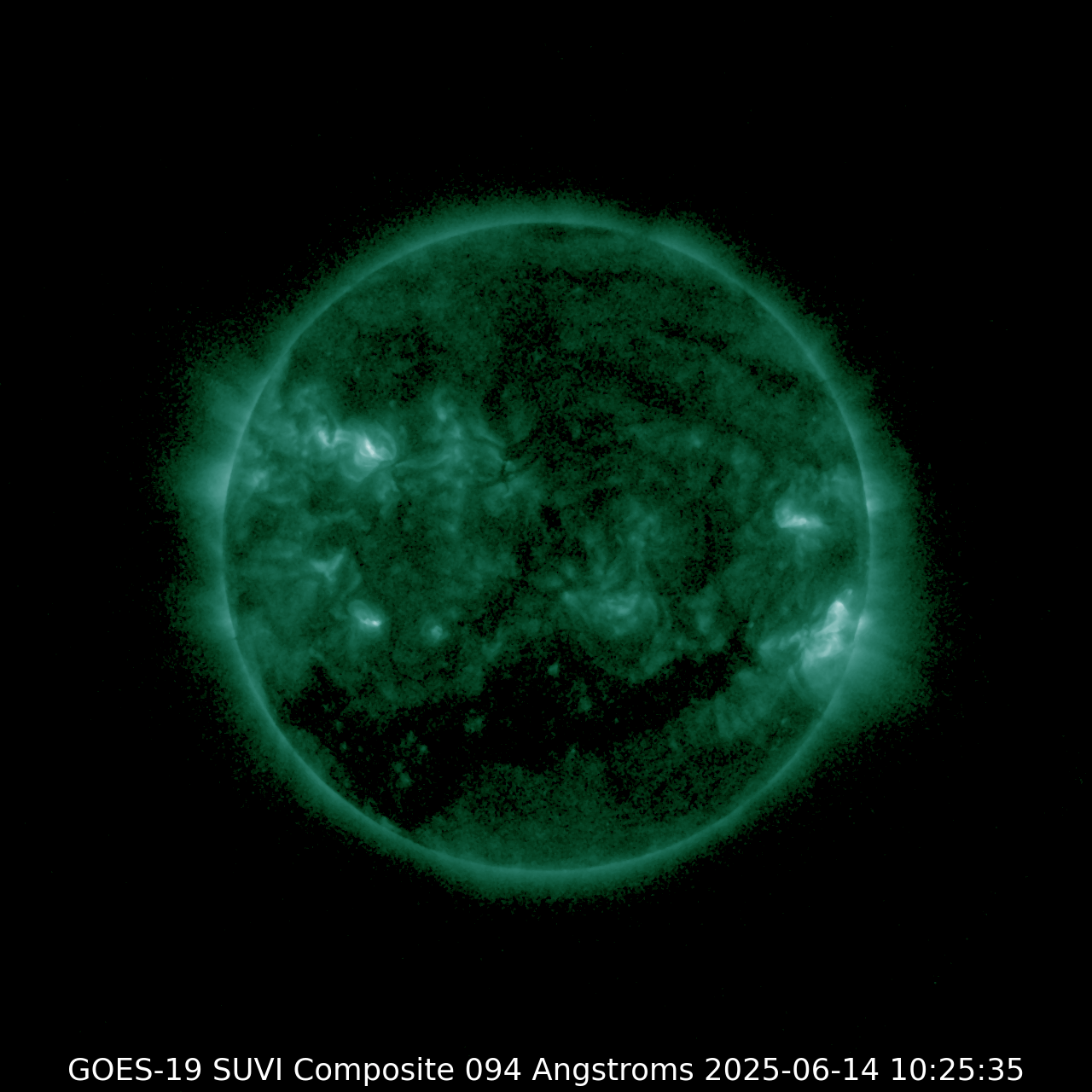
SUVI 094
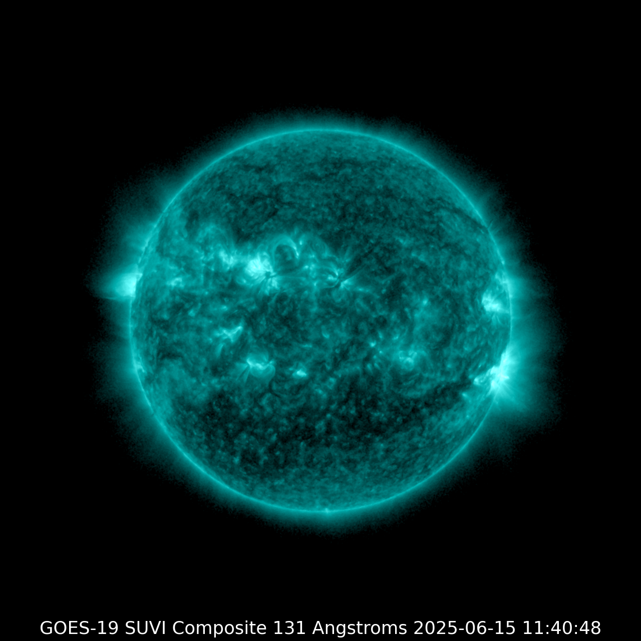
| SUVI 131
|
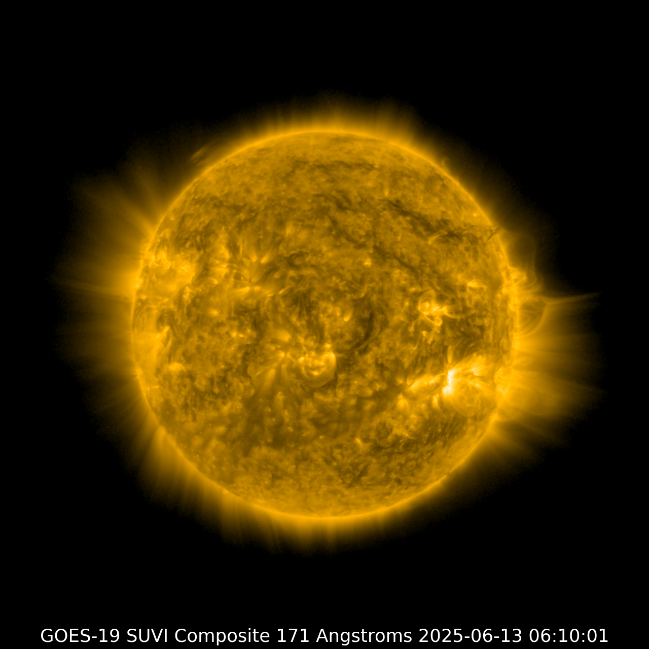
SUVI 171
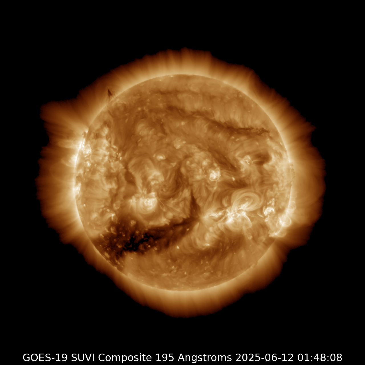
| SUVI 195
|
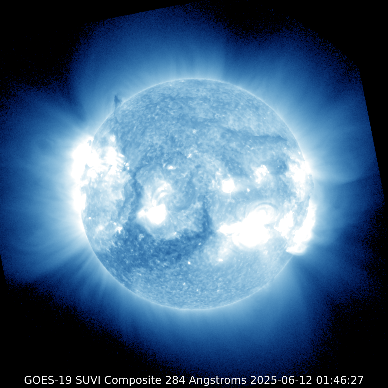
SUVI 284
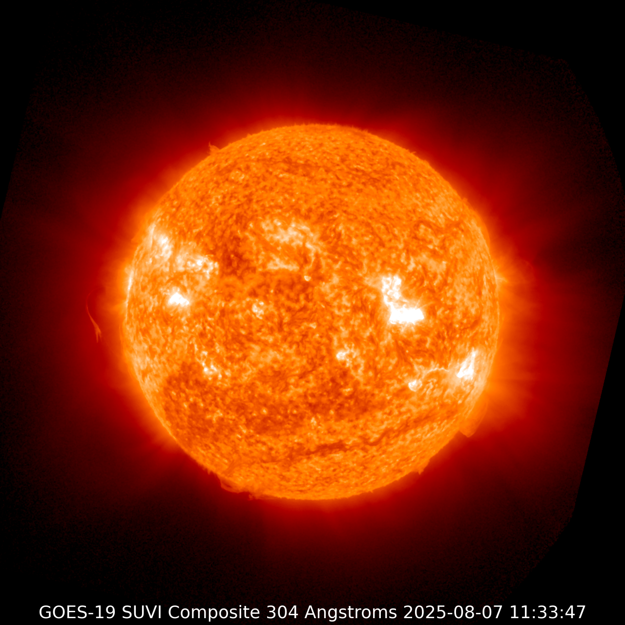
| SUVI 304
|
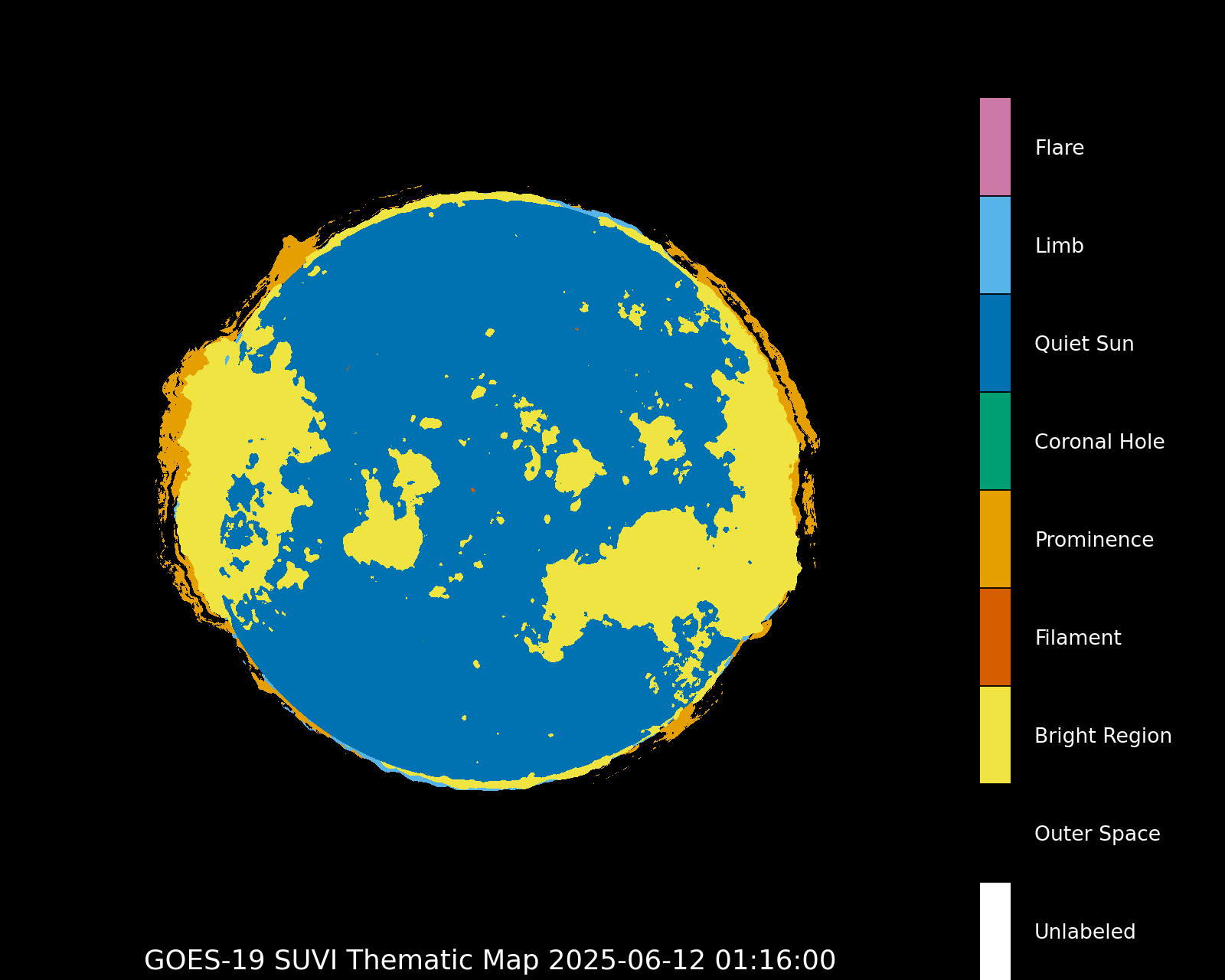
Thematic map
|
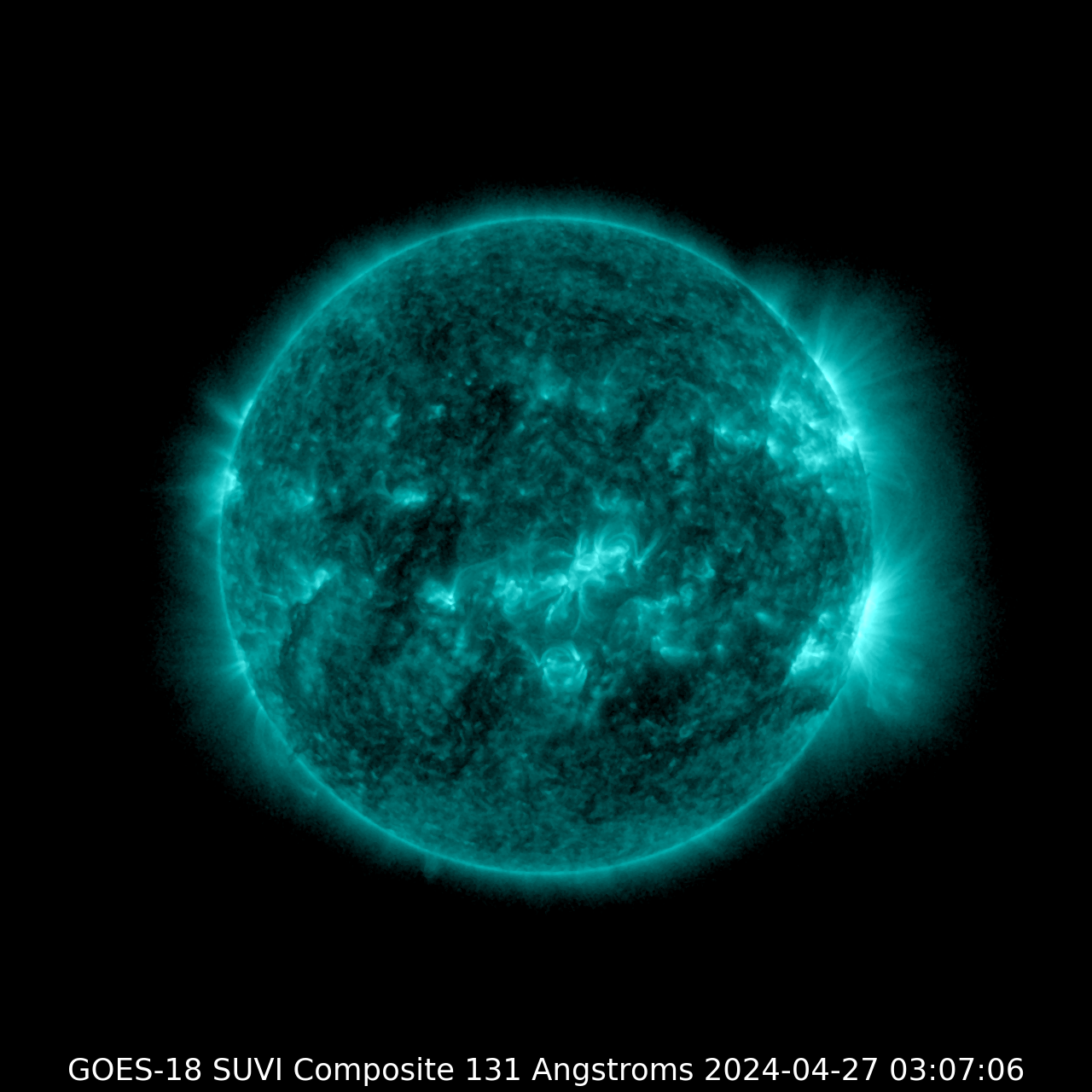
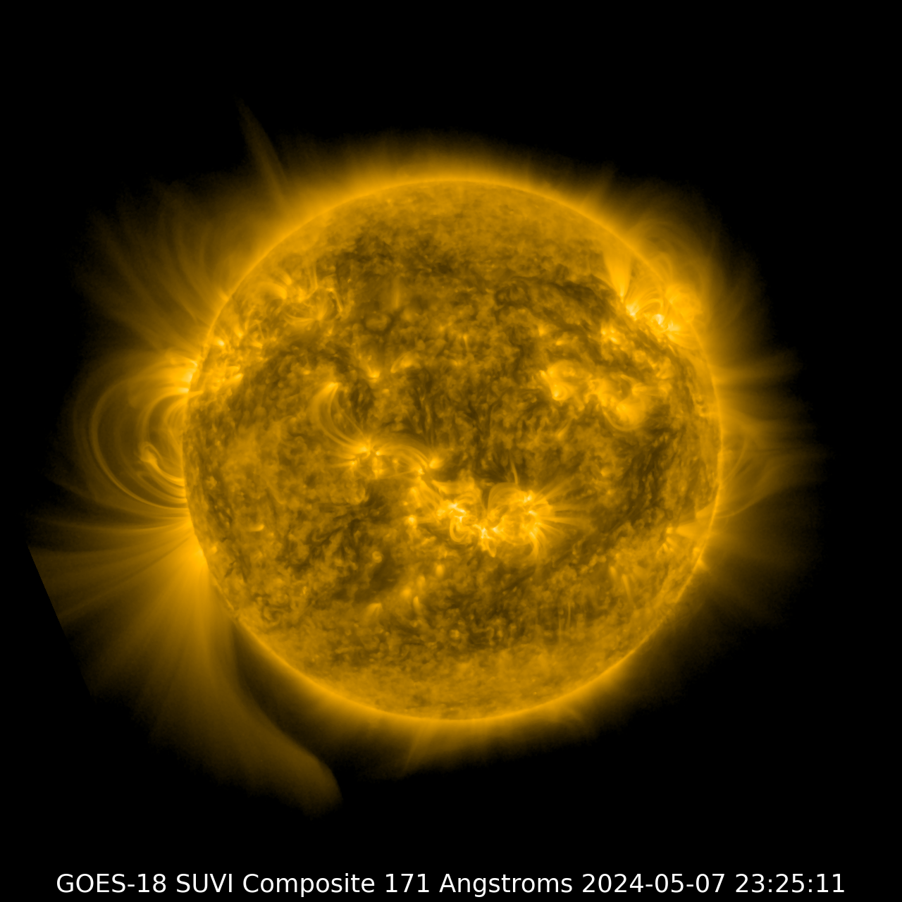
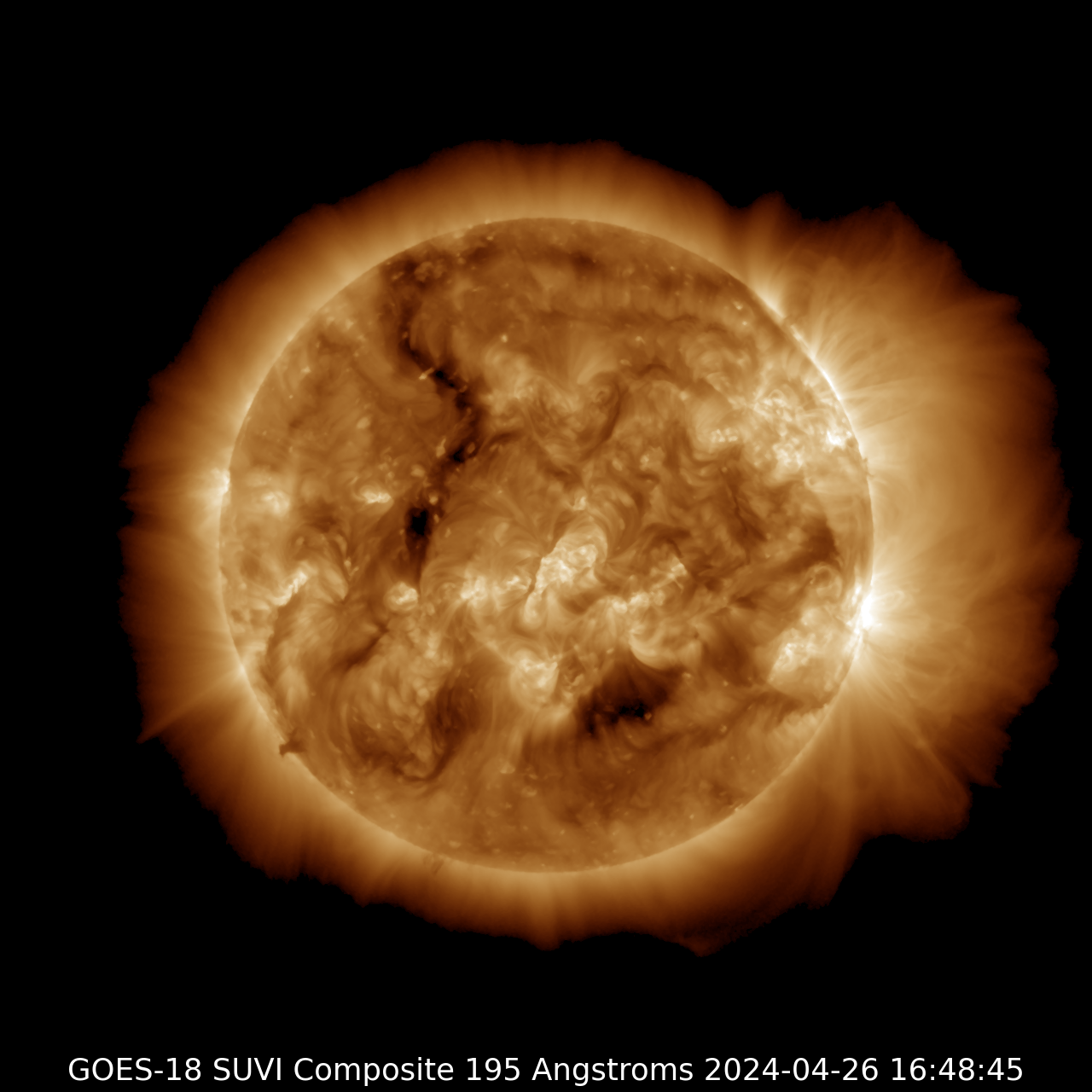
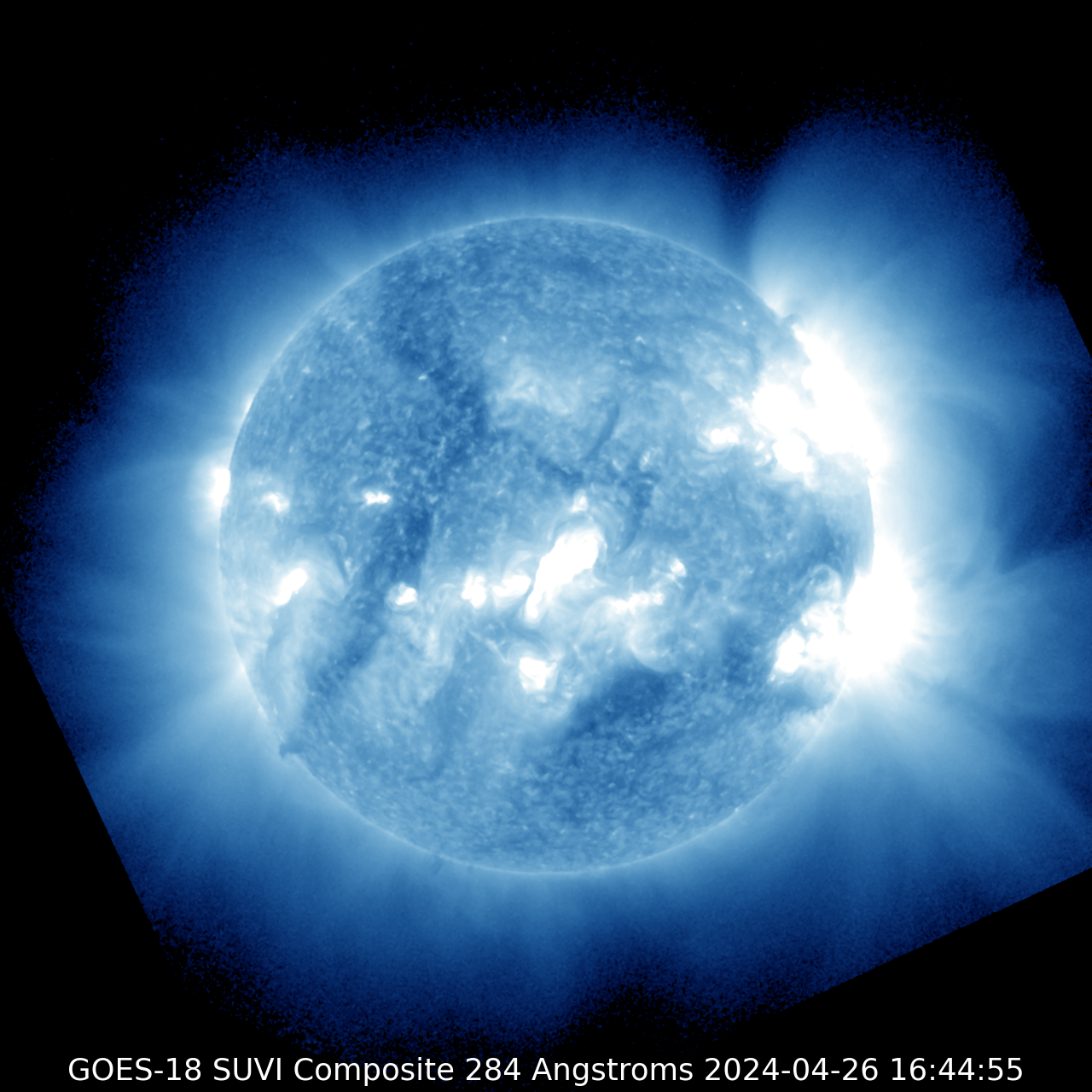
GOES-18
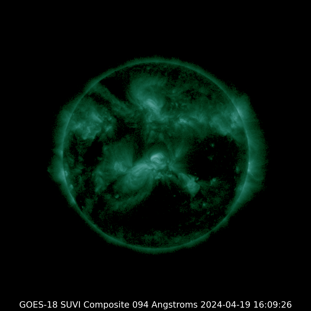
SUVI 094
| SUVI 131
|
SUVI 171
| SUVI 195
|
SUVI 284
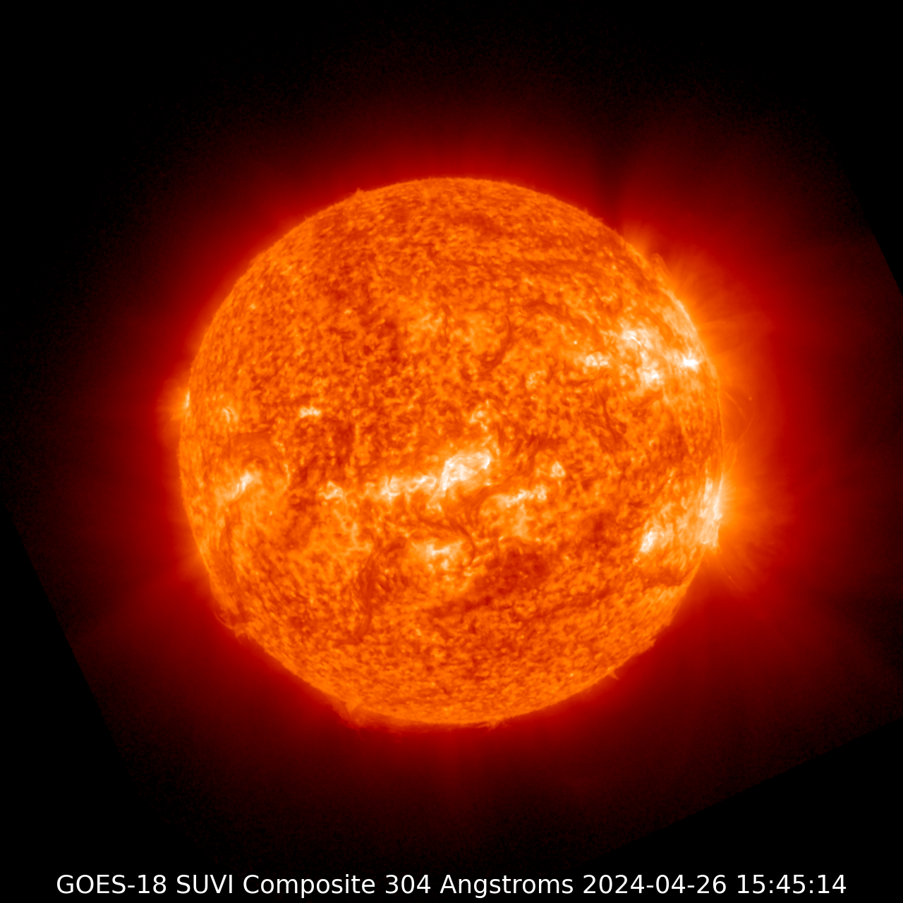
| SUVI 304
|
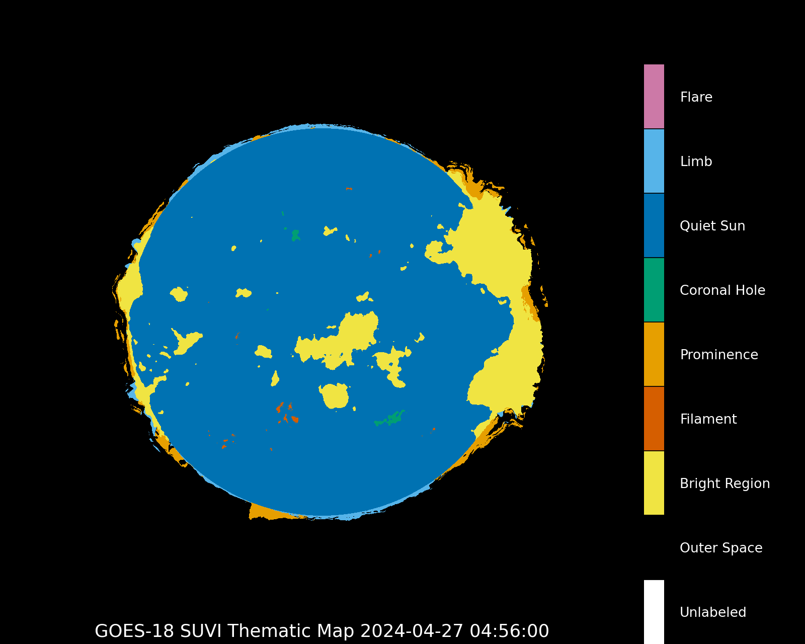
Thematic map
|
Courtesy of the GOES system (NOAA)
Latest news
Saturday, 23 March 2024
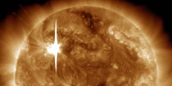
X1.1 solar flare with earth-directed CME
Wednesday, 20 March 2024
Sunspot region 3615, G1 watch
Thursday, 22 February 2024
X6.3 solar flare
Latest forum messages
Unspecified geomagnetic activity 905GONG Farside Images added to the SWL site? 5Growth of Cycle 25 418Changelog/Featurelog 152Imagery from Total Solar Eclipse 08/04/2024 5
More topicsSupport SpaceWeatherLive.com!
A lot of people come to SpaceWeatherLive to follow the Sun's activity or if there is aurora to be seen, but with more traffic comes higher server costs. Consider a donation if you enjoy SpaceWeatherLive so we can keep the website online!
Space weather facts
| Last X-flare | 2024/03/28 | X1.1 |
| Last M-flare | 2024/04/19 | M1.0 |
| Last geomagnetic storm | 2024/04/16 | Kp5 (G1) |
| Spotless days | |
|---|---|
| Last spotless day | 2022/06/08 |
| Monthly mean Sunspot Number | |
|---|---|
| March 2024 | 104.9 -19.8 |